
Forest Course
Digest Movie of the Forest Course
(Click play button to see video.)
① |
 |
Otafumbe Chashi Ruins (Urahoro) |
| Chashi is a hilltop fortification made by the Ainu, the indigenous people of Hokkaido. Ota-Fumbe means "sand - whale" in the Ainu language. The ruins of the fort stand on a ridge stretching out from the Shiranuka Hills Range along the Pacific coast. | ||
|
||
| ② | 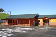 |
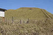
Michi-no-Eki, Roadside Rest Area (Urahoro) |
| Located by a large forest park, Michi-no-Eki Urahoro has a sense of unity with nature. It was built of Japanese larch wood, which adds a warm friendly atmosphere to the facility. Souvenirs, local products, coffee and snacks, tourist information, and rest rooms are available. | ||
| ③ |  |
Urahoro Coal Mine Ruins (Urahoro) |
| At this historical heritage site, you can see some remains of the former coalmine town such as apartment buildings and railway tunnels. The coalmine closed in 1954. You can also see a coal seam at Sounsawa. | ||
| ④ | 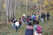 |
Rushin Hot Spring (Urahoro) |
| Refresh in a simple sulfur hot spring on the Rushin River. Rich in alkali the water is clear and odorless. Near the hot spring, you can enjoy a 30-minute walking course through the dense forest of Rushin Sansaku-no-Mori. | ||
| ⑤ | 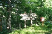 |
Taiko-no-Mori (Urahoro) |
| A well-preserved primeval forest near a populated area. Most kinds of broadleaf trees that grow throughout Hokkaido are found in this protected wood. | ||
| ⑥ | 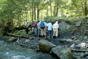 |
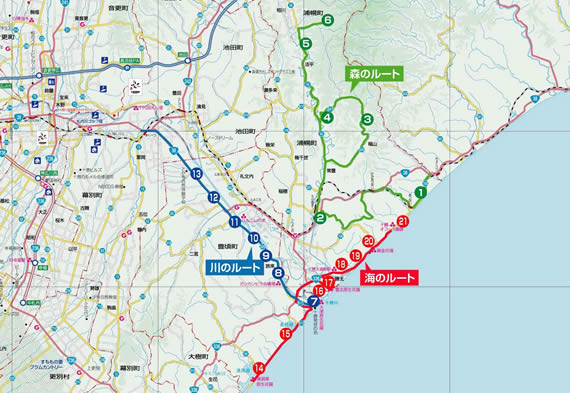
K-Pg Boundary (Urahoro) |
| The K-Pg boundary is a geological signature, usually seen as a thin band of rock. It was formed when an asteroid struck the earth on the Yucatan, Mexico about 66 million years ago, which is said to have caused the mass extinction of dinosaurs. These layers have been found in 30 locations around the world, but only one in Asia. | ||
To go back to the previous page, Pressing the back button on your browser or the backspace key.